
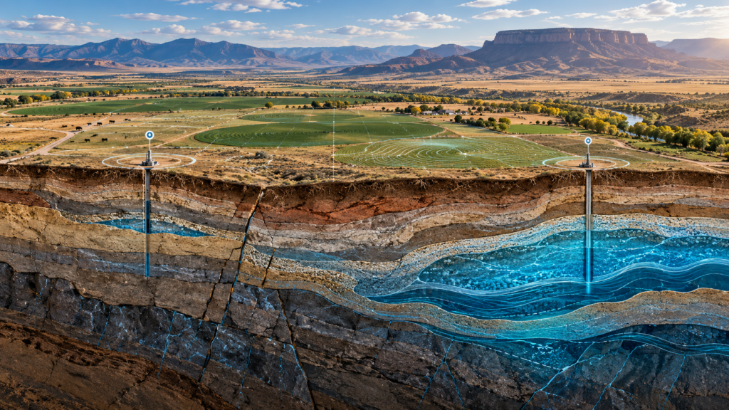
One Well Doesn’t Tell the Whole Groundwater Story
If you own or manage a large agricultural property, chances are you already have groundwater information.
You may have one or more existing wells. You may know how deep they are, what they historically produced and how their performance has changed over time. You may have drilling logs from your own property or records from neighboring properties.
All of that information is valuable.
But there is an important limitation:
A well tells you what was encountered at one specific location underground. It does not necessarily tell you the groundwater story of the entire property.
On hundreds or thousands of acres, that distinction can matter.
Every Well Is a Data Point
A well provides a vertical look into the subsurface at a specific location.
Its drilling log may reveal the formations encountered. Production history can tell you how that particular well has performed. Water levels and water quality provide additional information about the groundwater being accessed there.
Put several wells together and the picture begins to improve.
But even multiple wells may leave large areas of a property unexplored.
Consider a 1,000-acre property with three existing wells. Those wells may provide excellent information about conditions at those three locations, but there are still hundreds of acres between and around them where the subsurface has never been directly tested.
That becomes important because groundwater conditions are not necessarily uniform across a property. Understanding how much groundwater may actually be available beneath the land requires looking beyond the performance of a single well.
What Is Underground Can Change Across the Land
Farmers and ranchers already understand variation at the surface.
Soils change from one field to another. Elevation changes. Drainage changes. Crop performance can change across the same operation.
The subsurface can vary as well.
Aquifer thickness and depth can change. Faults and other geologic structures can influence groundwater movement. The thickness and ability of underground materials to transmit water can also vary from one location to another.
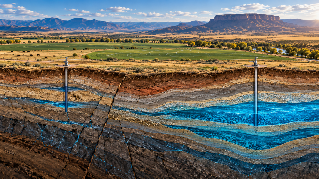
Recent U.S. Geological Survey research in the Western U.S. illustrates this variability.
In a 2023 investigation of Arizona’s Upper Santa Cruz River Basin, researchers used geologic mapping and geophysical data to better define the geometry, thickness and structure of the basin’s aquifers. The work also identified previously unrecognized faults considered significant to groundwater movement. US Geological Survey USGS 2023 Upper Santa Cruz Basin study
A separate 2024 USGS study in Tucson noted that groundwater movement depends on spatially variable subsurface characteristics. Researchers identified factors including changes in depth to bedrock, the thickness and hydraulic conductivity of subsurface layers, faults and locally confining units. US Geological Survey USGS 2024 Tucson aquifer study
Groundwater quality can vary geographically as well. A 2024 USGS assessment of Nevada’s Carson Valley aquifer found distinct spatial patterns in groundwater nitrate and arsenic concentrations across different parts of the valley. And a 2025 USGS study of Arizona’s Coconino aquifer evaluated differences in groundwater chemistry in relation to geology and groundwater movement as part of assessing areas for potential groundwater development. USGS 2024 Carson Valley groundwater study and USGS 2025 Coconino Aquifer study
The point is not that every property will exhibit these same conditions.
It is that groundwater occurrence, movement and quality are influenced by subsurface conditions that can vary from one location to another.
That is why a well – or even several wells – provides valuable information without necessarily revealing the complete groundwater picture across a large property.
Nearby Wells Are Valuable—But They Are Context
When evaluating groundwater potential, nearby well information can be extremely useful.
If neighboring wells are producing at certain depths, that tells you something about groundwater in the area. If surrounding wells have experienced declining water levels, that is important information too. Neighboring wells can also influence groundwater conditions when multiple wells are drawing from connected aquifer systems.
But it can be tempting to take the next step and assume:
“They found good water over there, so we should have the same thing here.”
That conclusion may or may not be correct.
Groundwater systems are three-dimensional. Productive zones can change in depth, thickness and characteristics across an area. Structural features can influence where groundwater occurs and how it moves.
So surrounding wells should not be ignored.
They should be viewed as additional data points within a larger groundwater picture.
A Western Example: Looking Beyond Individual Wells
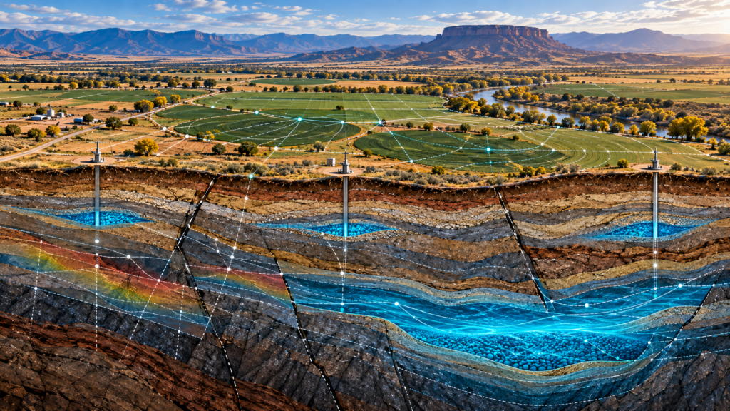
Another USGS investigation in southern Arizona shows why that larger perspective can matter.
Researchers studying the Nogales Formation in the Upper Santa Cruz Basin were evaluating the potential for new, deeper groundwater resources. USGS Nogales Formation study
Rather than relying on individual wells alone, the investigation combined geologic mapping with geophysical modeling.
The geologic work helped define the hydrogeologic framework, including potential aquifers and confining units, as well as faults and fractures that could influence groundwater flow.
Geophysical modeling was then used to better understand the geometry of the groundwater basin, the thickness of different formations and the location of deep subbasins.
The result was the identification of deeper target areas that researchers concluded could potentially represent productive aquifers.
The study did not eliminate the need for drilling. Drilling is ultimately necessary to physically confirm what is underground.
But the research demonstrated something important:
More information about the subsurface can help identify where the strongest groundwater opportunities may be before deciding where to drill.
That is a very different approach from relying on a single existing well or simply choosing another location nearby.
The Larger the Property, the More Important the Bigger Picture Becomes
This is especially relevant for large agricultural properties.
If you have 500, 1,000, 5,000 acres or more, the location of an existing well represents a very small portion of the land available to you.
Historically, wells may have been located where they were convenient for irrigation infrastructure, close to electricity, near a particular field or simply where the best information available at the time suggested drilling.
That doesn’t mean those locations were poor choices.
But when planning the next well, there may be an opportunity to ask a broader question:
Where on this property does the groundwater opportunity appear strongest?
Instead of beginning with a predetermined drilling location and asking what might be underneath it, groundwater exploration can begin by evaluating the property more broadly and comparing prospective areas.
That changes the decision from:
“What is beneath this spot?”
to:
“Where should we be looking?”
More Information Can Change the Drilling Decision
Imagine two prospective well locations.
Both are on the same property. Both are reasonably accessible. Nearby well records indicate that groundwater exists in the area.
Based only on those facts, either location might appear suitable.
But additional subsurface information could indicate meaningful differences between the two locations.
One might be associated with more favorable geology or structural conditions. The prospective groundwater source could occur at a different depth. The thickness of the water-bearing zone could differ. Water quality could potentially differ as well.
There may also be deeper groundwater resources that existing wells were never designed to reach.
That information could influence not just where to drill, but what groundwater resource to target.
It does not eliminate drilling risk.
No groundwater exploration technology can replace the final physical confirmation provided by drilling.
What better information can do is help make the drilling decision less dependent on a handful of isolated data points.
From Individual Data Points to a Groundwater Picture
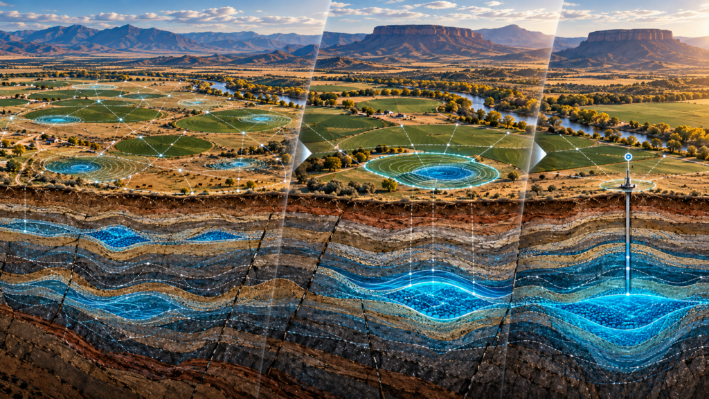
This is an important part of the AquaterreX approach.
Existing wells, neighboring wells and drilling records can all contribute valuable information. But they are pieces of a much larger picture.
AquaterreX evaluates groundwater potential across the property using multiple sources of scientific data and analysis.
The process begins broadly and progressively narrows the search, allowing prospective groundwater opportunities to be compared rather than simply evaluating a predetermined drilling location.
As the analysis progresses, AquaterreX works to develop increasingly specific information about a potential groundwater source and drilling target.
That can include:
- Geographic location
- Target depth
- Aquifer thickness
- Salinity or water-quality indicators
- Potential production
AquaterreX technology can also identify Deep Seated Water™—groundwater resources at depths that may not have been explored or accessed by existing wells.
For a large property, that broader perspective can open possibilities that would be difficult to identify by looking at historical well information alone.
One Well Is Information. The Property Is the Opportunity.
Existing wells matter.
Neighboring wells matter.
Drilling records matter.
But each provides another piece of evidence about a groundwater system that may extend across hundreds or thousands of acres—and to significant depths below the surface.
The goal isn’t to disregard those data points.
It is to put them into a much larger context.
For an operation sitting on hundreds or thousands of acres, the strongest groundwater opportunity may be near an existing well.
It may be in another part of the property.
Or it may be a deeper groundwater resource that previous wells never reached.
The important thing is to understand as much of the groundwater picture as possible before deciding where the next drill rig should go.
Planning a new well or evaluating the long-term water potential of a large property?
AquaterreX can help you look beyond individual wells to evaluate groundwater opportunities across—and beneath—the property.